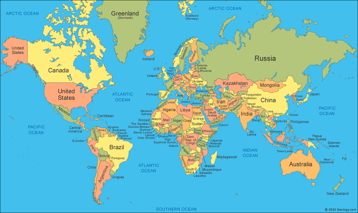

The African Union (AU) has backed a campaign to replace the Mercator projection — the 16th-century world map still used in most classrooms and GPS systems worldwide.
The ‘Correct The Map’ campaign is led by advocacy groups Africa No Filter and Speak Up Africa.
They demand that the map be corrected to reflect Africa’s true size.
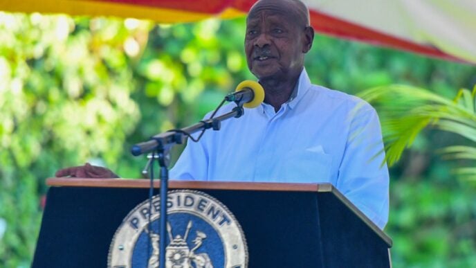
“It might seem to be just a map, but in reality, it is not,” Selma Malika Haddadi, AU Commission deputy chairperson, told Reuters.
Advertisement
Haddadi said the Mercator fostered a false impression that Africa was “marginal”, despite being the world’s second-largest continent by area, with over a billion people.
She noted that such stereotypes influence media, education and policy.
Geert de Kremer, better known as Mercator, a European cartographer, made his projection for navigating the seas.
Advertisement
Mercator initially made globes. He later transferred his map from a three-dimensional curved surface to a flat sheet of paper but his projection downsized the true size of countries, as the northern side of the globe was stretched to produce a usable map.
“The current size of the map of Africa is wrong,” Moky Makura, executive director of Africa No Filter, said.
“It’s the world’s longest misinformation and disinformation campaign, and it just simply has to stop.”
Fara Ndiaye, co-founder of Speak Up Africa, said the Mercator affected Africans’ identity and pride, especially children who might encounter it early in school.
Advertisement
The campaign said it has sent a request to the United Nations’ geospatial body.